
NEWS + EVENTS
Lorem ipsum dolor sit amet, consectetur adipiscing elit. Nulla euismod condimentum felis vitae efficitur. Sed vel dictum quam, at blandit leo.
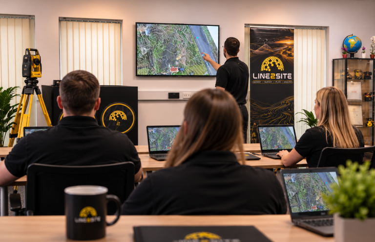
FREE DROP IN SESSION
We recently held another free drop-in session at our training centre, this time on how to read and understand topographical surveys.
Using a live drone orthomosaic with contour overlays, we covered:
- Contours, spot levels and working out gradients
- TIN surfaces and breaklines
- OSGB36 vs site grid, levels to ODN, and how to spot drawings that aren’t georeferenced
- Control stations and TBMs
- Common features: banks, kerbs, manholes with cover and invert levels, utilities
- Title blocks, scales, accuracy notes and revisions
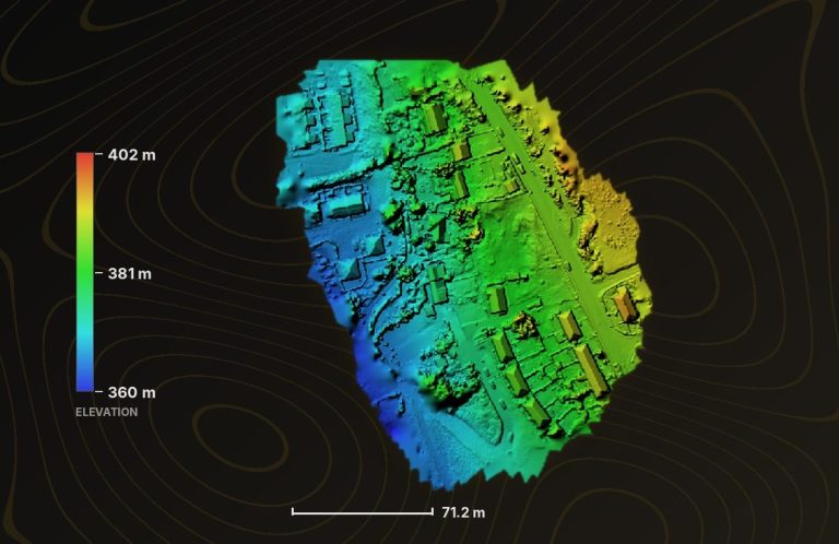
ONGOING DRONE SURVEYS FOR OUR VALUED CUSTOMERS
We’ve recently completed a series of drone surveys for our valued customers ahead of some exciting upcoming projects. Each survey delivered high-resolution orthomosaics and an accurate digital surface model (DSM) and digital elevation model (DEM). The DSM records the site as it stands, including buildings and vegetation. The DEM gives the bare ground surface, ready for design, levels and earthworks planning.
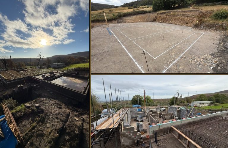
Progress Photos From Our Customer
There’s nothing like progress photos from a customer who stops for nothing. We recently set out the extents of this impressive property, and it’s brilliant to see it taking shape so quickly. The blockwork is up and the floor joists are going in.
Huge credit to the team on site for their hard work and pace. We’re proud to have played a part in getting this build off to the right start, and we can’t wait to see the finished property.

Automated Ground Monitoring Now Live Across Wales
Our in-house ground monitoring system has successfully completed its trial period. It runs fully automatically with no one needing to operate it, collecting accurate movement data around the clock in all weather.
The system is now deployed on multiple sites across Wales. It gives our clients continuous, reliable monitoring data, so they can track ground and structural movement as it happens and act early, without waiting for the next site visit.
We’re proud to have developed it ourselves, and we’re excited to roll it out on more projects soon.
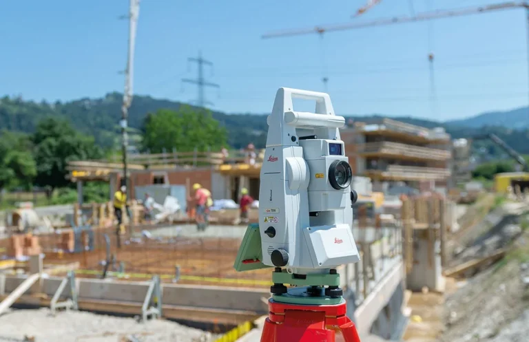
Setting Out for Construction: Now Available on Weekends
Can’t take a week off work? Our CITB-assured Setting Out for Construction course is now available over five Saturdays.
You’ll cover exactly the same content as the full-week course and earn the same two CITB-approved certificates, Total Station for Construction and Levelling & Taping, without missing a day on site or losing a week’s pay.
Spaces are limited, so get in touch at contact@line2site.com to book your place.

You Choose Our Next Free Session
Our free sessions are run for you, so tell us what you’d like to learn next. It could be reading drawings, total station basics, levelling, GNSS, drone surveys, CAD or something you’re stuck with on site. Whatever it is, we want to hear from you.
Email contact@line2site.com with your suggestion. We’ll pick the most requested topics for upcoming sessions, all delivered free of charge.